While my Storymap version of the Morrell chapter map is still in progress here, I completed a very thorough map using Google Maps of her route.
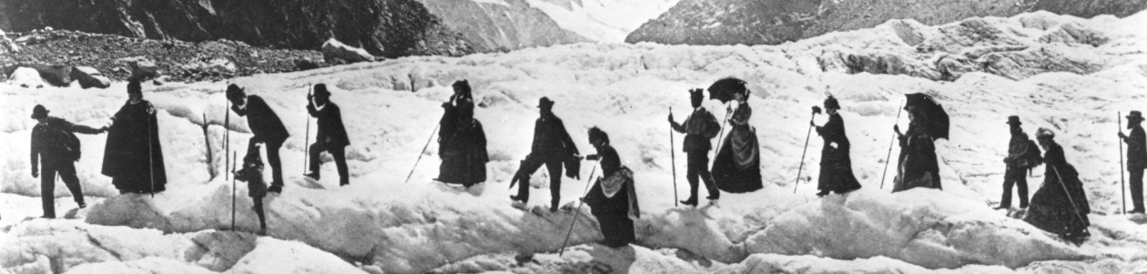
My goal in this map is to show the form of travel (train/boat/foot) rather than the precise routes and roads taken. Using the rather rough line-drawing tool of the platform was a good way to show the form (using color) – but the lines are rather blunt. The value of showing the type of travel for this chapter is in demonstrating A) how varied the transportation was for members of Morrell’s traveling group and B) just how much ground they covered nearly every single day. And they rose around 4am and fell asleep after 10pm regularly. Such robustness.
I plan to do a separate map to outline their four days in Paris at the tail end of their journey – such running about town on foot and feeling pushed around on omnibuses. (I’d like to find a good image of an 1860s omnibus!)
